Trails and networks
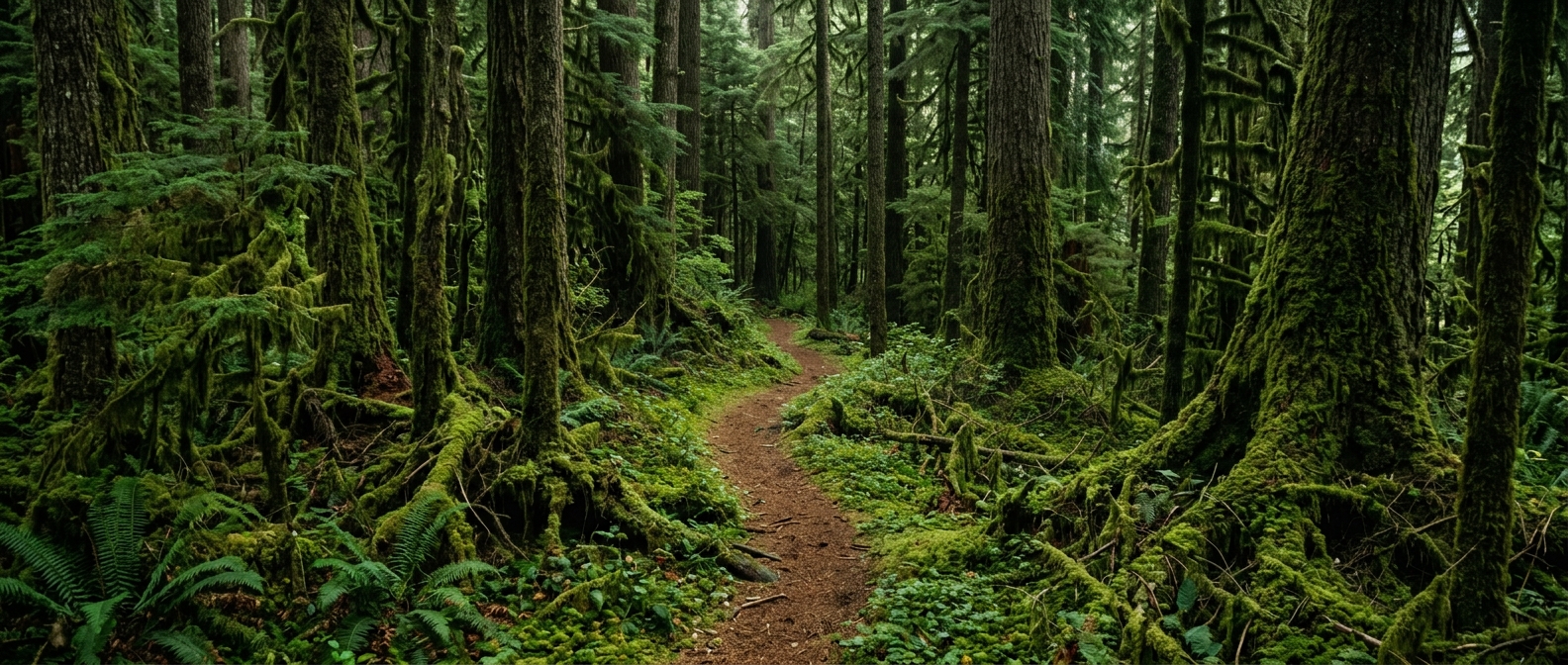
Import what you already have — GPX, KML or GeoJSON, in bulk — then group trails into networks and give each one its own difficulty, surface, direction and season.
Trails and networksFeatures
Conditions, maintenance, builds, infrastructure, crews, planning, and your public site — the whole job in one place, each part explained in plain terms. Switch on what you do, ignore the rest.
The whole toolkit
A workspace shows the modules its team switched on and hides the rest, so the menu stays the size of the job.
Import what you already have — GPX, KML or GeoJSON, in bulk — then group trails into networks and give each one its own difficulty, surface, direction and season.
Trails and networksEvery trail carries a status your crew sets and your visitors read. Weather automation scores conditions per network twice a day, so a page is current even on a week nobody logged in.
Trail conditionsA downed tree, an eroded corner, a broken bridge board — filed against the trail with a photo and a location, triaged, assigned and closed.
MaintenanceBridges, stairs, kiosks, signs and trailheads as inspectable records; viewpoints, campsites and water sources as the things visitors ask about.
InfrastructureMap-first, built for one hand and no signal. Download a whole network before you leave and the map, the photos and the work list all come with you.
The appsWalk a line with GPS, draw it, or let the route finder propose one that holds a sustainable grade — then price the build and send a proposal a landowner can read.
Trail plannerA site on your own domain with live conditions, news and an events calendar — and a report page where a hiker or rider files what they found, with the location, straight into your triage queue.
Your public siteLogged on the trail, given at a workday or checked in at the trailhead, every hour lands in one count, split from paid staff the way a funder asks, and comes back out as a board-ready annual report with its dollar value.
Volunteer hoursRoles for your team, hours and expenses filed from the field against the work they were spent on, and a shared inventory with per-location stock counts, equipment checkouts and low-stock alerts.
Crew and costsChairs, gondolas, T-bars and carpets with a daily status, and TRAFx counter readings imported against the trail they count, so usage is measured rather than guessed.
Counters and liftsA base map built into the product, plus slope shading, aspect, contour lines and land-boundary overlays — the terrain read you would otherwise stitch together from three other tools.
Maps and terrainWhat was found, what was fixed, what it cost and who did it — over any stretch of time, plus the seasonal checklists that prove the walk happened.
ReportingSwitched on per workspace
Nobody runs all of it. A land trust does not have lifts and a bike park does not have Nordic grooming, so the parts a team has not switched on are not in their sidebar, not in their field app and not in their reports.
Answer one question about what your team does and the workspace arrives configured for it. Settings has the same switches, so a first guess is not a decision you live with.
Owners, managers and volunteers see different things within the same workspace, down to individual permissions — so a volunteer files work without also being able to publish your site.
The free plan is limited by size — trails, members, storage — rather than by which features you get. A short list of planning overlays is the exception, and the pricing page names it.
Compare plansYou do not have to adopt all of it at once. Most teams start with the trails and the maintenance queue, and switch the rest on as they need it.